
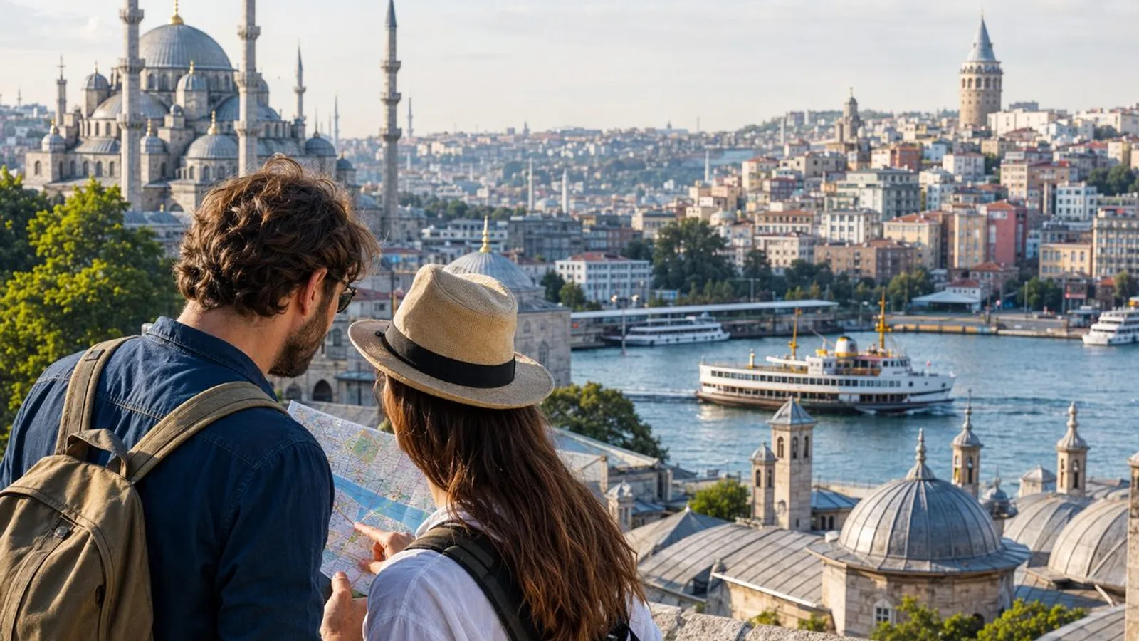
An istanbul walking tour is one of the easiest ways to see the city well without overplanning. For most first-time visitors, start with Sultanahmet to Eminonu for the biggest landmarks and simplest logistics; choose Galata to Karakoy if you want hills and street texture; choose Kadikoy and Moda if you want a calmer waterfront walk with a more local feel.
| Route | Area | Time | Difficulty | Best For | Start/End |
|---|---|---|---|---|---|
| Sultanahmet to Eminonu | Old City and Golden Horn edge | 1.5–2 hours without interiors | Easy to moderate; mostly downhill, busy pavements | First-time visitors, major sights, short stays | Sultanahmet / Eminonu |
| Galata to Karakoy and Tophane | Beyoglu slope and waterfront | 2–2.5 hours with stops | Moderate; steep sections and uneven paving | Photographers, repeat visitors, urban texture | Galata / Tophane or Karakoy |
| Kadikoy Waterfront and Moda | Asian side waterfront and neighborhood streets | 2–3 hours as a relaxed loop | Easy; long but gentler | Food stops, families, sunset walkers | Kadikoy / Kadikoy |
Istanbul Walking Tour: 3 Free Self-Guided Routes
Istanbul is a transcontinental city spread across Europe and Asia, connected by ferries, bridges, hills, and historic districts. Sultanahmet is the historic core with many of the city's best-known imperial landmarks. Galata is a hillside district known for older streets, views, and dense urban character. Karakoy is a waterfront transport area with ferries, tram links, and access to the bridge approaches. Kadikoy is a busy district on the Asian side known for markets, food streets, and daily local life. Moda is a quieter coastal neighborhood next to Kadikoy with parks, sea views, and residential streets.
These three routes are free to walk and easy to follow. Each gives you a different version of Istanbul, so the best choice depends on whether you want headline monuments, layered streets, or a slower waterfront loop.
Route 1: Sultanahmet to Eminonu
Why choose it: Pick this route if you want the clearest first introduction to the city. It connects the biggest historic landmarks to working streets and an easy ferry-and-tram finish.
Suggested flow: Hagia Sophia Square → Blue Mosque → Hippodrome area → Basilica Cistern exterior stop → Gulhane edge streets → Sirkeci → Eminonu waterfront
Key stops
- Hagia Sophia is a former cathedral and mosque, now a major historic monument and active religious site: visitors use a separate route to the upper galleries, and the guided visit runs daily, 09:00 - 19:30. Start here early for lighter crowds and softer light.
- Blue Mosque is Istanbul's best-known imperial mosque, still active for worship and often central to first-time visitor itineraries. The plaza between the two monuments is one of the easiest places to understand the scale of the old capital.
- Hippodrome is the former ceremonial arena of Byzantine Constantinople, now a long public square with historic monuments. It is flat, easy to follow, and good for a simple walking rhythm.
- Basilica Cistern is an underground Byzantine water reservoir and one of the Old City's most popular paid indoor sights, open daily, 09:00 - 18:30 and included in Istanbul PRIME Pass. If you want a fully free route, view the exterior zone and keep moving.
- Sirkeci is a transport and commercial quarter near the old station area. The slope down is manageable, but pavements can feel crowded.
- Eminonu is a waterfront transport hub beside the Spice Bazaar, ferry piers, and the Galata Bridge. It is an easy finish for snacks, skyline views, or a ferry connection.
Timing: Allow 1.5 to 2 hours for the walk itself. Add extra time if you enter Hagia Sophia, Basilica Cistern, or Topkapi Palace.
Difficulty and Hills: Easy to moderate. Most of the route is flat through Sultanahmet, then gently downhill toward Sirkeci and Eminonu. The real challenge is crowd density rather than elevation.
Transport Return Options:
- Tram connections from Sultanahmet, Sirkeci, and Eminonu
- Ferries from Eminonu to other parts of the city
- Easy onward link to Eminonu and the Istanbul public transport and ferry guide
Paid Add-Ons: Hagia Sophia, Basilica Cistern, Topkapi Palace
Watch-Outs: Prayer times can affect mosque visits; crowding builds quickly; tram tracks and delivery traffic around lower streets need attention.
Route 2: Galata to Karakoy and Tophane
Why choose it: Choose this route if you want a more urban, less ceremonial walk with steep streets, architecture, and strong waterfront transitions.
Suggested flow: Galata Tower area → Serdar-i Ekrem side streets → Bankalar Caddesi → Karakoy waterfront → Galata Bridge approach → Tophane promenade
Key stops
- Galata Tower is a medieval stone tower and landmark viewpoint in central Beyoglu, open daily, 09:00 - 18:00. Even without going up, the surrounding streets make a strong start.
- Serdar-i Ekrem is a street and side-street cluster known for older buildings, shops, and downhill city views. It is more rewarding if you take the side lanes rather than the fastest line to the waterfront.
- Bankalar Caddesi is the historic Banks Street, once the financial spine of late Ottoman Istanbul. The facades here give the route a more formal, commercial feel.
- Karakoy is a waterfront district with ferry piers, cafes, tram links, and quick access to the bridge approaches. It is busy but very useful for transport and views.
- Galata Bridge is the bridge spanning the Golden Horn between Eminonu and the Beyoglu side, known for fishing lines, water views, and a strong city panorama. You can add the bridge on foot if energy allows.
- Tophane is a waterfront district with Ottoman-era landmarks, port history, and a long promenade that feels easier after the descent.
Timing: Allow 2 to 2.5 hours with stops. Time expands quickly here because photo pauses, stair streets, and cafe breaks slow the pace.
Difficulty and Hills: Moderate. The route starts on steeper terrain with uneven paving and can feel slippery in rain. It gets easier once you reach the shoreline.
Transport Return Options:
- Tram access along the waterfront
- Ferries from Karakoy
- Walk across to Galata Bridge for Eminonu
- Possible longer extension toward Dolmabahce Palace: the waterfront past Galataport leads on toward Kabataş, and the palace is another 20–30 minutes on foot along the main road (note it is closed Monday)
Paid Add-Ons: Galata Tower viewpoint, cafes, museums or waterfront stops nearby
Watch-Outs: Steep streets, polished stone, stairs, and crowded corners near Karakoy. This route is less suitable for travelers with limited mobility than Route 1 or Route 3.
Route 3: Kadikoy Waterfront and Moda
Why choose it: Take this route if you want sea air, neighborhood energy, food stops, and a break from the heavier monument crowds on the historic peninsula.
Suggested flow: Kadikoy ferry area → market streets → Bahariye side streets → Moda Park coast → Moda pier area → return loop to Kadikoy
Key stops
- Kadikoy is a major district on Istanbul's Asian side known for ferries, markets, and busy local streets. Arriving by ferry gives the route its best opening.
- Kadikoy Market is a dense cluster of food shops, small restaurants, and residential lanes near the ferry zone. This section works best if you leave room for short detours.
- Bahariye Street is a shopping and strolling street that links central Kadikoy with surrounding neighborhoods. The little T3 heritage tram loops through it toward Moda — charming, slow, and rarely faster than walking.
- Moda Park is a coastal green space with wide views across the Sea of Marmara toward the historic peninsula. It is one of the best pause points on any free walk in the city.
- Moda Pier area is the shoreline stretch and cafe zone near the water, good for a break before looping back.
Timing: Allow 2 to 3 hours as a relaxed loop. If you stop for lunch, dessert, or sunset, expect the route to take much longer than the map distance suggests.
Difficulty and Hills: Easy. It is longer than it looks, but gradients are gentler than Galata and surfaces are generally easier.
Transport Return Options:
- Ferries back from Kadikoy to European-side piers
- Bus and metro links from central Kadikoy
- If you stay for dinner, note the last ferries go in the evening; Marmaray under the strait runs later
Paid Add-Ons: Food stops, ferry ride, optional pairing with a Bosphorus Cruise on another day
Watch-Outs: The route is easy to overextend if you keep adding cafe stops and detours. Windy waterfront weather can also make the coast feel cooler than central streets.
How to Choose the Right Route
Choose Route 1 if this is your first visit and you want famous landmarks with simple navigation. Choose Route 2 if you like steeper streets, architecture, and a stronger working-city feel. Choose Route 3 if you want more space, more local rhythm, and a less monument-heavy day.
A short route on the map can still feel tiring in Istanbul. Hills, tram crossings, queues, paving quality, and frequent photo stops affect your energy more than raw distance.
If you only have half a day, do one route well rather than combining two badly. That usually means fewer indoor entries, one clear start point, and a simple transport plan for the finish.
Practical Tips Before You Walk
Start early, especially in warmer months: from June to September the middle of the day is genuinely hot on these slopes, while in spring and autumn the whole day is walkable. Streets around major sights get crowded fast, and early starts make route-finding easier.
Wear shoes with grip. Istanbul pavements can be polished, broken, steep, or all three at once. This matters most in Galata and on wet days.
Carry water, but do not overload your bag. A heavy backpack feels much worse on Istanbul hills than on flatter city walks.
Dress respectfully if you may enter active mosques. Visits pause during the five daily prayers, and Friday midday is the one slot to avoid. For mosque visits, cover shoulders and knees, expect to remove shoes, and avoid blocking worship areas or prayer lines.
Use offline maps. Mobile signal is usually fine, but battery drain happens fast when you are taking photos, navigating, and checking transport at the same time.
Watch your footing near tram tracks, curbs, and downhill stone surfaces. This matters most on wet days and in crowded junctions.
For accessibility, Route 3 is usually the gentlest choice, Route 1 is manageable with planning, and Route 2 is the least friendly for wheelchairs, strollers, or anyone sensitive to slopes and uneven paving.
If you are changing in and out of mosques, wear footwear that is easy to remove and carry socks if you prefer not to go barefoot on mosque carpets. This matters most when you plan several religious-site stops in one morning.
What to Download and Bring
Download your route map before leaving the hotel. Save your start point, finish point, hotel, one backup cafe, and the nearest tram or ferry stop.
Useful downloads include:
- An offline map app with saved pins
- Screenshots of ferry piers, tram stops, and return routes
- Tickets or attraction confirmations if you plan paid add-ons
- Our Istanbul public transport and ferry guide for route planning
Bring:
- Water
- A power bank and charging cable
- Sun protection
- A light layer for wind on the waterfront
- An İstanbulkart, from any station or pier machine, for the tram, metro and ferries
- Comfortable shoes with grip
- A small scarf or extra cover if mosque visits are likely
If you plan a museum add-on, the first hour after opening is when the lines are shortest; guided entries need booking ahead. If you use an attraction pass, compare nearby entries before the day starts so you do not backtrack.
For public transport, an Istanbulkart is usually the simplest option for trams, metros, buses, and many ferries. Confirm current setup and payment rules before you travel, then keep enough credit loaded for your return.
Common Mistakes on Istanbul Walking Routes
The biggest mistake is underestimating hills. The second is assuming map time equals real time. In Istanbul, it usually does not.
Other common mistakes:
- Trying to enter every major sight on the same walk
- Starting too late and hitting the heaviest crowds and heat
- Forgetting to check prayer-time access near active mosques
- Not saving ferry or tram stops before leaving Wi-Fi
- Wearing smooth-soled shoes on stone streets
- Leaving food and water breaks until you are already tired
- Ending on the wrong side of the city without checking the return route
If your route ends near a pier or tram line, check the evening connections before sunset: trams and metro run late, ferries do not. That simple step can save a long, tired detour.
Why Self-Guided Walks Work So Well in Istanbul
Istanbul rewards walking because the city changes block by block. You can move from a formal square to a market street, then from tram noise to ferry views, all within a short distance.
A self-guided walk also gives you control over pace. That matters in Istanbul, where the best moments are often small: a lane opening to the water, a call to prayer near a square, or a cafe stop with a skyline view.
Self-guided routes are especially useful here because transport is strong enough to support a one-way walk. You can finish in Eminonu, Karakoy, or Kadikoy and return by tram or ferry instead of retracing every step.
If you want to pair your walk with major sights, see our pages for Sultanahmet, Hagia Sophia, Blue Mosque, and Basilica Cistern. If you want a water-based follow-up, a Bosphorus Cruise works well on a different half day.
FAQ
Is Istanbul Walkable For Tourists?
Yes, many central districts are walkable, especially Sultanahmet, Galata, Karakoy, Kadikoy, and Moda. The main limits are hills, paving quality, crowds, and traffic crossings.
Which Istanbul Walking Route Is Best For First-Time Visitors?
Route 1, from Sultanahmet to Eminonu, is usually the best first choice. It links major landmarks with easy orientation and strong tram and ferry connections.
Are These Istanbul Walking Routes Really Free?
Yes. The routes are free to follow. Optional museum entries, ferry rides, tower visits, food stops, and paid attractions may add costs.
How Long Should I Plan For A Self-Guided Walk In Istanbul?
Plan at least half a day for one route. Real timing depends on queues, photo stops, hills, weather, and whether you add indoor sights.
Which Route Has The Best Local Feel?
Route 3 in Kadikoy and Moda usually feels the most local. It is the best choice for market streets, coastal views, and a slower pace.
Do I Need Public Transport For These Walks?
Usually only to reach the start point and return after the finish. Trams and ferries are especially useful for Route 1 and Route 3.
What Should I Wear For Mosque Stops On An Istanbul Walking Tour?
Wear modest clothing that covers shoulders and knees, plus shoes that are easy to remove. Women also cover their hair; free wraps are handed out at the busiest mosques.
Which Route Is Best With Kids Or For Lower-Effort Walking?
Route 3 is usually the easiest with children or anyone wanting a gentler day. Route 1 can also work well if you start early and avoid too many queues.
Is It Better To Use A Guide Or Walk Istanbul On Your Own?
If you like flexible timing and simple navigation, self-guided works very well in Istanbul. If you want deep historical context inside major monuments, a guide can still be worth adding for one specific area.